The land of Craponne is located in the North of Haute-Loire, at the heart of a vast granitic plateau, and at the South of the Livradois-Forez Regional Natural Park. The altitude varies from 700 to 1000 meters. Thus, the climate is characteristic of the medium mountain and offers to the residents a breath of fresh air during the heatwaves. The unspoilt nature and clean air are a delight for everyone. The water is also a major element of the local heritage with 65 kilometers of streams and rivers which roam the Pays de Craponne.
The Arzon and Ance are two of the most important watercourses and shape the edges of the plateaus in deep valleys. Firstly, between Chomelix and Vorey, the Arzon weaves at the canyon bottom. Therefore, this is the meeting point for the fishermen of trout and lovers of sportive hikes. Then, the Ance is, as for it, really popular among the fly anglers, particularly in the South of Saint-Julien-d’Ance.
Many ancient ways cross the region. Among them, the Bolena, pre-celtic way connecting the Forez to the Languedoc by crossing towns and villages; and the way of Caesar, strategic Roman way joining Lyon to Toulouse, which avoids them thoroughly.
The impressive star of pre-Celtic routes radiating around Craponne proves that the area has been occupied since for years.
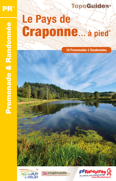
So, if you wish to discover the Pays de Craponne, we recommend its guidebook of hikes. Indeed, you will find 16 walks to do for a day or half a day. For each walk of the Topoguide, you will have:
With a size of 13.5 x 21 cm, the TopoGuide has the ideal format to discover a territory in its entirety.
> Get the TopoGuide of the Pays de Craponne on our online shop, in the section “randonnée à la journée” (hike for a day)
PR-136-Autour-de-la-gouise – PR-137-Le-plateau-de-Beaune-sur-arzon
PR-140-Le-circuit-de-l-escudelle – PR-142-Le-four-a-pain-de-Fraisse
PR-143-le-suc-de-Mons – PR-594-le-ruisseau-de-Rioumort
PR-595-des-sucs-a-la-dorette – PR-596-le-site-feodal-de-Beaumont
PR-597-la-balade-de-la-bergere – PR-599-Le-plateau-du-volcan
PR-601-Les-gorges-de-l-Arzon – PR-685-Au-ryhtme-des-clochetons
PR-686 – La-route-des-marchands – PR-687-Le-Suc-de-Beze
PR-688-Le-chemin-des-trois-provinces – PR-689-Autour-de-Champdieu
Cliquez sur les marqueurs pour afficher le détail du circuit