A difficult walk but…
Come walk among low walls of stones, basalt and phonolite, among crosses and mills along the water, and explore the ruins of the castle of Chapteuil.
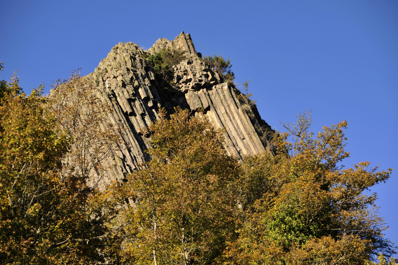
At the heart of Meygal, with a view on the sucs*
From Saint-Julien-Chapteuil, village nestled in the heart of the massif of Meygal, discover some landscapes covered of sucs, these domes which prove of the former volcanic activity of our region. The PR 57, of a length of 14.4 km, will lead you, after a few effort, in the village of Montusclat. There, you’ll be able to discover its old market town and its church. You will then climb between the mounts of the Mounier (1 407 m in height) and of the Tortue (1 327 m in height).
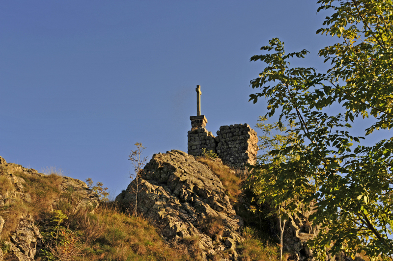
You will then start the slope between forests and low walls of stones. Maybe you will cross paths with a deer! Will then come the suc of Chapteuil where you will discover the ruins of an old fortress… and a view that you will not soon forget!
Useful information about the mount of the Tortue
- PR 57 Le mont de la Tortue (The mont of the Tortue)
- Yellow marking, Respirando tour
- Start from the village of Saint-Julien-Chapteuil, 18 km away on the East of Le Puy-en-Velay
- Length of the tour: 14.4 km
- Difference in height: + 604 m
- Difficulty: difficult
- Estimated time: 4h50
- Information, topographical IGN map and description are available in the guidebook of Pays des sucs, de la Loire au Meygal
1 – Note: a “Suc” is a specific volcanic hill of Massif Central, an area of France.